Thatcher Peninsula, South Georgia - satellite image map
- One side of
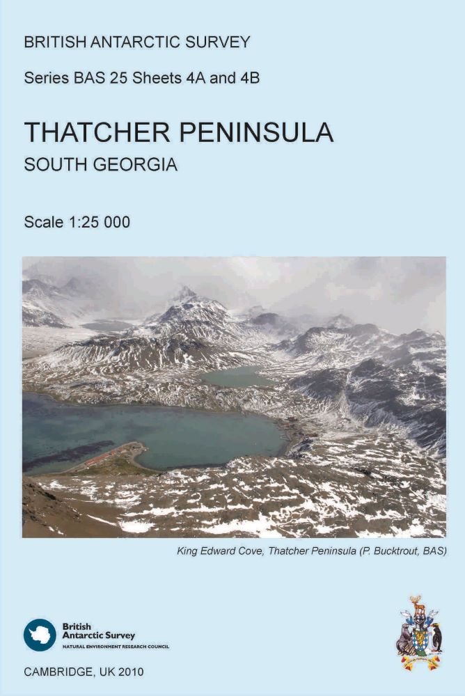
- Thatcher Peninsula, South Georgia
- Edition
- 1
- Published
British Antarctic Survey, 2010. Thatcher Peninsula, South Georgia - satellite image map, 1:25,000 scale map. BAS 25 series, Sheet 4B, Edition 1. Cambridge, British Antarctic Survey.
This is side B of a double-sided map. The map shows a Very High Resolution (VHR) satellite image of the peninsula, with selected place names. Local information about cultural and natural history is also provided.
This item is available to purchase as a physical paper map. Please see this guide for more information.
This item is available free of charge to BAS staff members. Please contact MAGIC to request a copy.
This is a licence summary, see the Formal Licence External link, opens in a new window. for more information.
Bounding Coordinates
- South-West Corner (min x/y)
- South: -54.36, West: -36.62
- North-East Corner (max x/y)
- North: -54.235, East: -36.46
Lineage Statement
The data for this map was prepared in ArcMap. The map was created in CorelDRAW. The map was printed by Victoria Litho.
Full details of data sources and references can be found on the map.
Forms one side of
This double-sided map features both a topographic and a satellite image map of Thatcher Peninsula, South Georgia.
Opposite side of
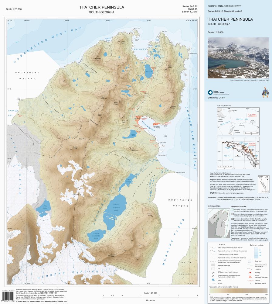
This is side A of a double-sided map. This topographic map includes contours, moraine, ice, rivers and lakes.
Item Information
- Item ID
- d61a5942-595f-40b1-b4f5-99ab4227eb5d
- Item Type
- PRODUCT (MAP)
- Series
- BAS 25
- Sheet number
- 4B
- Scale
- 1:25,000
- Page Size
- 580 x 650 mm (width x height)
- Aliases
- ISBNs
- 978-0-85665-217-2 (Flat)
- 978-0-85665-149-6 (Folded)
- Item edition
- 1
- Item Created
- Item Published
- Item Released
- Item Status
- Item is complete and recommended for general use
- Item Update Frequency
- Item may be updated if needed
Metadata Information
- Last updated
- Metadata Standard
- ISO 19115-2 Geographic Information - Metadata - Part 2: Extensions for Imagery and Gridded Data
- Metadata Standard Version
- ISO 19115-2:2009(E)
- Metadata Profiles
- British Antarctic Survey (BAS) Mapping and Geographic Information Centre (MAGIC) Discovery Metadata Profile (v2) External link, opens in a new window.
- British Antarctic Survey (BAS) Mapping and Geographic Information Centre (MAGIC) Administration Metadata Profile (v1) External link, opens in a new window.
- Metadata Licence
- Creative Commons Attribution-NoDerivatives 4.0 International External link, opens in a new window.
- Metadata Links
- Item page build time
Alternative contact methods
By post
British Antarctic SurveyHigh Cross
Madingley Road
Cambridge
Cambridgeshire
CB3 0ET
United Kingdom
By phone
By email
Privacy Notice
If you contact us, your personal information will be retained for up to three years and then deleted. It will only be used to contact you regarding your enquiry. If this item relates to an external organisation, we may share an anonymised version of your enquiry with them to help answer your query.
We use Cloudflare Turnstile, a third-party service, to protect against spam enquires.
See our privacy policy for more information.