Rothera Masts, Catenaries and Cable Runs
- Collections
- Edition
- 2
- Published
- Access
- Restricted
Produced by the Mapping and Geographic Information Centre, British Antarctic Survey, 2025, version 2, https://data.bas.ac.uk/maps/3004.
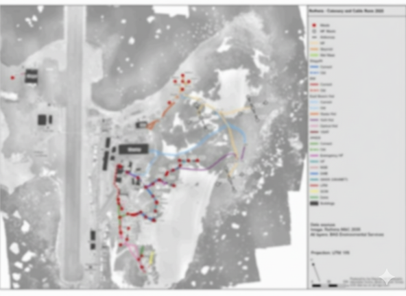
Site Map of Rothera Research Station showing locations of masts, catenaries and cable runs for 2026. The map shows current cables as well as old cables scheduled to be removed. In some areas cables do cover other cables which can be unclear on a map of this scale. The map has been designed to be as clear as possible.
Warning
The map is not currently a comprehensive map of all cables at Rothera Research Station.