Rothera Point - Search and Rescue Map
- Collections
- Edition
- 1
- Published
- Access
- Restricted
Produced by the Mapping and Geographic Information Centre, British Antarctic Survey, 2026, version 1, https://data.bas.ac.uk/maps/2059.
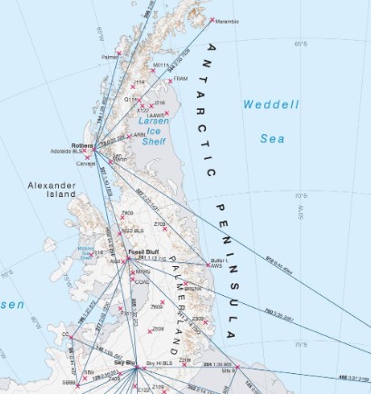
Search and Rescue Map for Rothera Point showing evacuation routes, hazardous sections, gator limits, boat access areas and other relevant features.
The purpose of the map is to aid search and rescue attempts for incidents occurring in and around Rothera Point.
Projection: Rothera Local Grid.
Data sources and references can be found in the lineage.