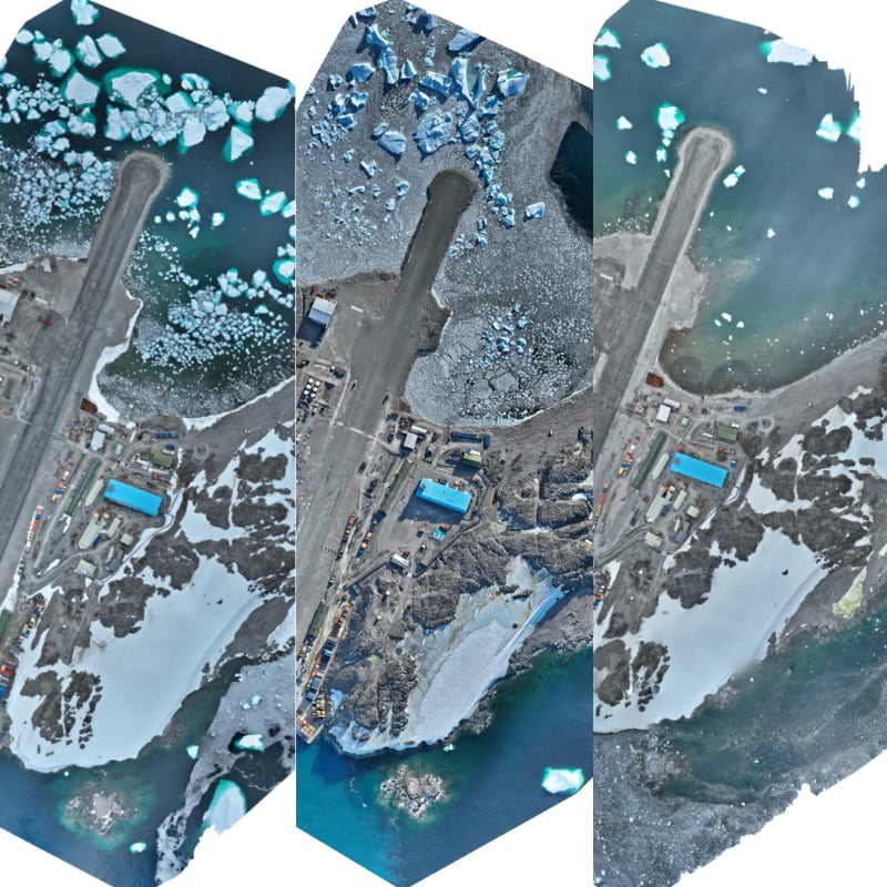
Rothera Station Orthomosaic 2026-01-14
- Collections
- Edition
- 2026.1.1
- Published
- Access
- Restricted
British Antarctic Survey (2026). Rothera Station Orthomosaic 2026-01-14 (Version 2026.1.1) [Product]. British Antarctic Survey Mapping and Geographic Information Centre. https://data.bas.ac.uk/items/e578316a-aef0-4881-9345-034a27e3aa06.
Orthomosaic of Rothera Station derived from UAV imagery acquired by the BAS Engineering Team for site progress recording and general visual reference.
Warning
This item is not a survey-grade output and has known positional accuracy limitations.
Further details on acquisition, processing, data quality and restrictions on use are provided in the Lineage.
A new edition of this item is available
Please see Rothera Station Orthomosaic 2026-02-16, edition 2026.2.1.