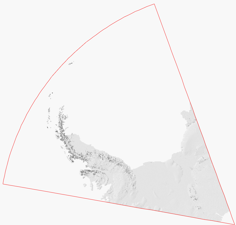
Hillshade for British Antarctic Territory
- Collections
- Edition
- 2
- Published
Produced by the Mapping and Geographic Information Centre, British Antarctic Survey, 2026, version 2, https://data.bas.ac.uk/items/8196cad3-7dc1-4fac-842a-272215b2bf52.
Hillshade covering British Antarctic Territory, constructed using Reference Elevation Mosaic of Antarctica (REMA) v2.0 10m mosaic dataset. It is made up of two layers, a traditional hillshade with a Z factor of 5, which is overlaid with a multidirectional hillshade with a Z factor of 2, and displayed with a 30% transparency, such that overall effect is a good balance between capturing detail around the peaks and also the flatter areas. The hillshade coastline matches the Antarctic coastline dataset v7.12 distributed by the Antarctic Digital Database.